This Trek connects Spiti Valley with Kullu Valley. There was a time when Valley of Spiti were difficult to gain access. Tibetan Plateau and high passes to th enorth are almost closed for year. Pin Parvati pass was first crossed by Sir Louis Dane in August 1984 and route was opened to trekkers in 1993.
Pass is always Snow-Bound and a guide, proper map are essential.
Lenght: 15-20 Days, 115 Km.
Highest point: Pin Parvati Pass 17715ft/5400m
Grade: Difficult
Best time to Trek: Late June - Mid October
Hazard: Advisable to stay in large groups and indoors at nights.
Manikaran to Pulga – 12Km
Pulga to Khirganga – 9Km
Khirganga to Tunda Bhuj – 12km
Tunda bhuj to Pando – 12km
Pando to Bara Dwari Thanch – 10km
Bara Dwari Thanch to CBase camp(camp 1) – 10km
Base camp to Advanced base camp(Camp 2) – 5km
ABC(Camp2) to Spiti camp via Pin Parvati Pass – 7km
Spiti camp to Chhochhden – 16km
Chhochhden to Mud – 12km
Mud to Sagnam – 12km
Gungri is 3 km from Sagnam
Manikaran to Pando:
Manikaran is located at 5570ft/1697m and a beautiful Sikh Gurudwara (Temple) welcomes you in the city of hot springs with apparently medicinal assests.
Manikaran is located on the banks of Parvati river, which is rushing down in full flow to unite with river Beas near Bhuntar. There are many hotels and rest houses available in the city. Potters can be arranged here you can also use mules on this trail for first two days trek.
First day’s trek walks through a divine forest on the right bank , you can find some lovely tea shops and villages on the way. Area named Rupi Valley (Silver) near Uchich village there are remains of old silver mines. Most of the mine shafts were filled in and buried at the time of the Sikh invasion in 1810 and never been reopened.
After walking for 6-7 hours / 12Km bridge crosses Parvati river and leads to Pulga 7285ft/2220m. There is a rest house in the village and one needs exceptional words to designate the attractiveness of it. Build with teak wood rest house has its own ancient world magic. There are other hotels and restaurants available nearby but Rest house has its own lure. You need permit from forest officer from Kullu or Bhuntar to stay there.
The trail ahead is a 9 km walk through scenic forest. There are trails on the both side wider trail is on the left side from the rest house. On the way to Khirganga village 9580ft/2920m where you will stay second day you will pass village Naktan on the right bank and crosses about three nalas and reach solid bridge over Parvati river at Rudranag. There are hot springs in Khirganga and a bath will be a best gift given by nature to end a day. It is delightful.
From here you have to walk around 12 km to reach Tunda Bhuj 11150ft/3400m, There are few up’s and down’s and the walk is enjoyable. You will pass the lovely grazing grounds of Mandror and Nihara on the way. Tunda bhuj is situated in a forest of birch trees
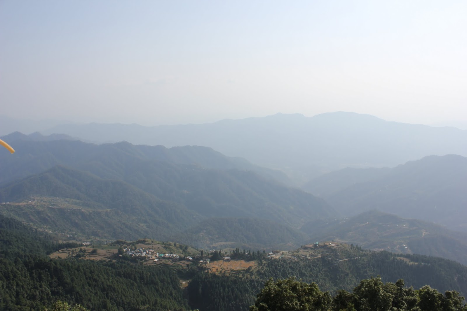
Some rocky grounds ahead for about 2 Km, trail is now tough and tricky. Hard work pays and after crossing this trail there is a wide vista opens up known as Thakur kuan ground. From here you can see another beautiful peak Kullu Eiger 18582ft/5664m. This valley leads to Dibbokri glacier and other high peaks Papsura and Dharamsura.
Moving ahead you will cross main Pandoh bridge over Parvati river. You need to pass through the rocky staircase, bridges here are masterpiece of local engineering. After crossing the bridge you will reach a wide open ground called Pando Seo Thach or Pando 12400ft/3780m pich your tents and enjoy your night with some local wine and be ready for the upcoming journey.
Pando to Pin Parvati pass:
My lucky no. is Five and Fifth day walk is a pleasure J. A good 10 km walk with few up’s and down’s through a broad valley Bara Dwari Thach 12860ft/3920m. This place is use for camping but it’s optional to stay here. After this place there is no wood available for fuel. Around 5km into a broad valley a moraine ridge seen ahead towards left, This is the ridge that dams the Mantalai lake origin of Parvati river. There is a Temple here with many prayer flags. Continue past the lake to a camping ground on right side about 5 km 13780ft/4200m. A sharp turn towards the east to enter another valley to the Pin Parvati pass.
To reach the pass we need to cross first nala and continue steep climbing. There is a shepherds track and at some places nalas are crossed. Around half way trail descends the valley to cross over to the opposite ridge. Trail crosses an area after around 5 km with huge boulders. From now onwards the entire ground is now Snow bound and extremely cold. After crossing this rocky ground you can see the pass. The original pass is on the lowest point on the ridge towards right 16535ft/5040m.
It is not advisable to cross the pass in the afternoon as snow will be soft. Night will be cold but high altitude views across the valley is simply superb and will make your night hot.
Next day it’s advisable to start early and a huge open ground leads you to the pass. Prayer flags and Cairns can be seen from some fair distance. This pass is used by shepherds with their flock in summer months. The view from the pass is enormous and spiti valley peaks can be seen from here. Descent from the pass is steep and ankle twisting and after descending for about 2 hours terrain eases. Camp on a patch of grass on the left bank of pin river 14830ft/4520m. You are now in Spiti valley a place where it didn’t rain much.
Pin Parvati pass to Sagnam:
Continue on the right bank and after about 6 hours of walking cross to the left bank by snow bridge. Continue walking ad you will reach three a junction of three nalas 16km. Chhochhden is the name of the camping ground a beautiful camp site at 13120ft/4000m. On the right you can see remains of the ancient fort build by rajas of Kullu. The valley is now broad and beautiful and gentle descent continues. Mud village is around 12 km away 6-7 hours of trek. Village is beautifully positioned and lies at the junction of the Killung nala with the pin. Surrounded by the fields. There is a small monastery up in the hills and a place to camp 12300ft/3750m.
Next day trail leads to Sagnam 12075ft/3680m around 12km away. Walk to the village takes around 6 hours through the left bank. There is a small rest house and many larger houses to stay, Sagnam is a large village and now you are in crowds.
Village has Television, hot water, heaters, telephones and a daily transport. There is an easier but longer trail on the right bank of the river from mud that directly goes to Gungri it does not leads to Sagnam. You can now drive your way to kaja.